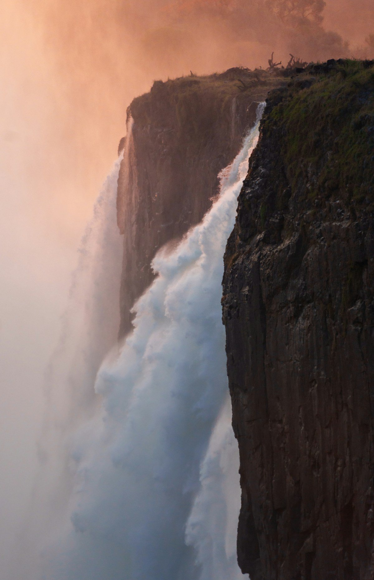
Zimbabwe’s landscape is largely plateau and lowveld - flat or gently rolling, dominated by miombo woodland and granite outcrops. Mount Nyangani is a significant exception. At 2,592 metres above sea level, it stands as Zimbabwe’s highest point, rising from the Eastern Highlands in Nyanga National Park to a broad summit plateau where mist gathers quickly, temperatures drop sharply, and the views on a clear day extend to the Mozambique plains 70 kilometres east.
The hike to the summit is one of Zimbabwe’s most rewarding day walks - accessible from a car park at altitude, well-defined for most of its length, and short enough to complete comfortably in a morning. The challenge is not the gradient or distance but the mountain’s temperament: it generates its own weather, and the flat summit plateau has confused hikers in mist often enough to have earned a significant local reputation.
The Mountain in Context
Nyanga National Park (formerly Rhodes Nyanga National Park) covers approximately 47,000 hectares of the northern Eastern Highlands. The park contains Nyangani, the Pungwe River headwaters, Rhodes Dam (a reservoir used for trout fishing), Mtarazi Falls (one of Africa’s highest waterfalls at 762m), and a landscape of heath, grassland and Afromontane forest quite unlike the rest of Zimbabwe.
Mount Nyangani itself is a broad massif rather than a sharp peak. The approach trail climbs steadily through open montane grassland and short heath vegetation, past rock outcrops and small wetland areas where mountain streams begin. The final section before the summit plateau involves some scrambling on larger boulders. The summit is marked by a cairn and trig beacon.
Getting to the Trailhead
The Nyangani car park is approximately 13km from the main Nyanga village road - follow signs from the main entrance to Nyanga National Park. The road is gravel for the final stretch and is easily manageable in a standard vehicle.
The fastest route to Nyanga from Harare is approximately 265km, taking around 3 hours via the main Mutare highway and turning north at the Rusape junction. Alternatively, combine Nyangani with a visit to Mutare and the Bvumba Mountains, treating the Eastern Highlands as a multi-day loop.
Nyanga town facilities: The small town of Nyanga has fuel, basic grocery supplies, and accommodation at the Rhodes Nyanga Hotel (a historic stone lodge, approximately USD 120–180 per room per night) and several more affordable guesthouses. Troutbeck Resort (10km from Nyanga, approximately USD 150–200 per room) offers a characterful colonial-era setting with its own trout lake and walking trails. If you’d like to pair the hike with a guided broader Eastern Highlands experience, browse Nyanga and Eastern Highlands tours on GetYourGuide for available options.
The Trail
Starting point: Nyangani car park, elevation approximately 2,100m. Register with the park rangers at the gate before you begin - they record your details and expected return time.
Lower section (car park to midpoint): The trail is clear and wide, climbing steadily northeast through montane grassland. The vegetation is short - open enough to see in all directions but for a few rocky outcrops. Wildflowers are abundant in November–January. Sunbirds, cisticolas and the occasional augur buzzard are commonly seen.
Upper section (midpoint to summit): The trail becomes less clearly marked as you approach the summit plateau. The path crosses several rocky sections that require using hands for balance. In good visibility this is straightforward; in mist it requires careful navigation. A GPS track or detailed map helps.
Summit plateau: The plateau is broad and flat, around 200–300 metres across. The cairn and trig beacon are at the highest point. On a clear day views extend west across Zimbabwe’s plateau and east toward the Mozambique lowveld. In cloud, nothing is visible beyond 20–30 metres.
Return: The same route back. The descent is faster than the ascent - allow 1.5–2 hours to return to the car park.
The Mist Warning
Nyangani has a serious reputation among Zimbabwean hikers for weather-related disorientation. Several hikers have been lost on the summit plateau in mist, and at least one death has been attributed to exposure after becoming disoriented above the cloud layer. This is not said to deter you - it is said to ensure you take the weather seriously.
The mountain generates rapid weather changes, particularly from November to April (the rainy season). Cloud builds from mid-morning onwards, and a clear sky at the car park can become full cloud cover at the summit within an hour. The standard advice:
- Start by 07:00 to reach the summit before cloud builds
- Carry a map and compass or GPS device, and know how to use them
- If cloud closes in before you reach the summit, turn back
- Always register at the gate and give a realistic return time
- Carry a warm layer and waterproof jacket regardless of morning conditions
Best Time to Hike
April to September is the recommended window. The dry season brings clear mornings, minimal cloud, cool temperatures and generally stable conditions. Frosts are possible on the summit in June and July - a warm mid-layer is essential.
October sees increasing temperatures and some cloud build-up. Still hike-able with an early start.
November to March is the rainy season. Rain and mist are frequent, the trail can be slippery on the upper section, and cloud conditions make summit navigation genuinely risky. If you hike in this period, start very early and be prepared to turn back.
What Else to Do in Nyanga
Nyangani is the obvious highlight, but Nyanga National Park has considerable depth for a two or three day visit:
Mtarazi Falls - Zimbabwe’s highest waterfall drops 762 metres into the Honde Valley. The viewpoint is accessible by vehicle and the falls are spectacular in the rainy season. The drive to the viewpoint gives expansive views east.
Pungwe Gorge - The Pungwe River cuts through the escarpment in a dramatic gorge accessible via a short walk from the road. Good for birding and a picnic.
Rhodes Dam - Trout fishing is available on the dam and several smaller streams in the park. Day licences can be obtained from the park office or through Troutbeck Resort.
World’s View - A high point within the park with views comparable to (and historically conflated with) the View of the World in Matobo. The Nyanga World’s View is different from the Matobo site and offers a good alternative panoramic walk.
Practical Summary
- Distance: approximately 6–8km return
- Elevation gain: approximately 500m
- Duration: 3–5 hours return
- Difficulty: Moderate
- Start time: No later than 07:30; ideally by 07:00
- Entry fee: approximately USD 15 per person per day (2026)
- Register: Always sign in at the gate before departing
- Essential kit: Warm layers, waterproof jacket, map/GPS, water, snacks, first aid
- Insurance: Arrange travel insurance for Zimbabwe that covers mountain hiking - the summit’s mist risk and remote location make medical evacuation cover important
- Where to stay: Base yourself in Nyanga or nearby; search hotels in Nyanga on Booking.com to compare guesthouses, resorts and self-catering cottages in the area